
Thermal and visual drone surveys
London and the South
Delivering the top-down evidence you need without the ropes & scaffolding
Thermal imaging, close-up photos and aerial views by drone, delivered as clear, organised data that drops straight into your reports.
Now booking for January 2027: winter heat loss surveys, and roof inspections all year round. Get in touch
Why ThermaDrones
Clear evidence from the air, with the judgement left to you
Independent
We don’t install, repair or sell anything, so our only interest is getting the data right.
Thermal and visual
Heat imaging when it’s the right tool, high-res photos and video when it’s not.
Built for your reports
A numbered register, matching images and a site plan, set up to your headings.
Services
What we can help with
Find likely wet insulation and target cores where they count.
See which modules need attention, and where they are.
See where a building loses heat before planning retrofit work.
Close-up photos and video of roofs, chimneys and façades without scaffolding.
Find ground-nesting birds before mowing, and count deer and wildlife.
If you need a view from above, ask. We’ll tell you straight away whether a drone can help.
Deliverables
What you receive
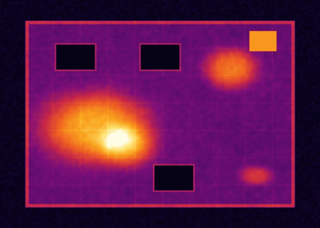
Every finding gets an ID that links the register, the images and the site plan, so anything in your report traces back to the source. Two example entries:
R1-A01 · High priority
Roof 1, Bay C · about 14 m² · +3 °C
Warm area after sunset, consistent with wet insulation. Core suggested at the marked point.
R1-A03 · Note
Roof 1, plant area · +9 °C
Heat from running plant. Not a moisture indication.
The full register comes as an Excel or CSV file, one row per finding, set up to your headings. See how we work
Tell us what you need
We cover London and the South. Send us the address and what you need to find out, and we’ll tell you how a drone can help.

